
Boundary Problems & Conflicting Surveys
Not every property line is simple. Old plats, missing corners, and records that don't agree can leave landowners with lines that don't make sense or don't match their neighbor's. These are the jobs we enjoy most.
Common situations
Two surveys don't agree
Sometimes a neighbor's survey puts the line somewhere different from yours. Most of the time it comes down to old records that conflict or markers that were moved over the years. We find out why by going back to the original records and the original markers in the ground.
Your corners are missing or don't fit
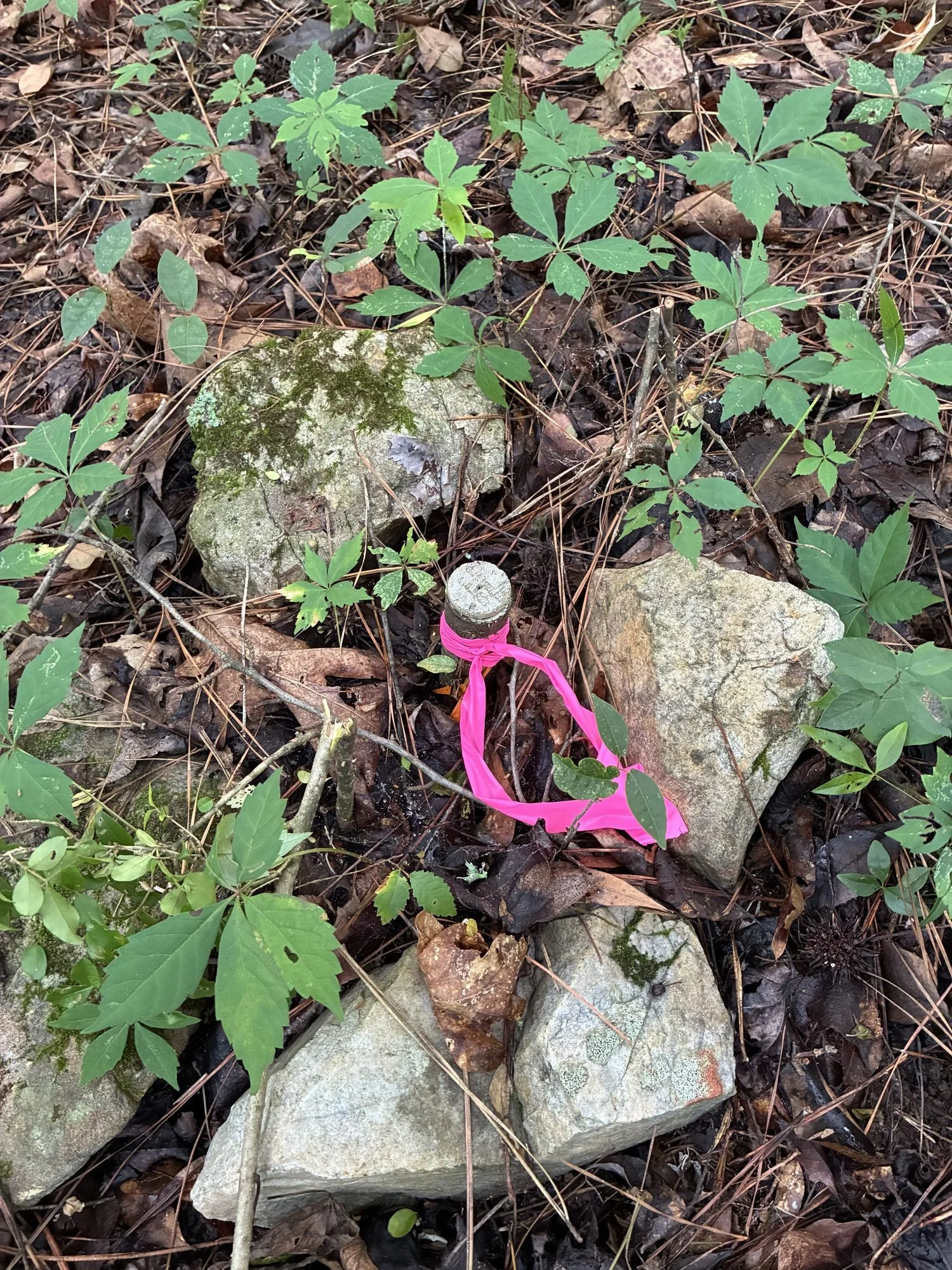
Over time, pins get pulled, buried, moved, or lost under fences and driveways. We search for the original evidence and figure out which markers can be trusted.
Your fence, driveway, or building may be over the line
We show exactly where the line falls compared to what's on the ground, so you know where you stand.
An old plat doesn't match the land
Many older plats were drawn with errors or with directions that don't line up with today's measurements. We work through the records to find where the lines were really meant to be.
How we work through it
First, the records
We trace your property and the land around it back to when the lines were first created, so we know how your property came to be before we ever set foot on it.
Then, the ground
We search for the original markers, sometimes well beyond your property, to confirm what the records say.
Then, the answer
We put it together into a survey that shows what controls and why, along with any conflicting markers, fences, or surveys, so anyone who looks at it later can follow the reasoning.
If you're dealing with a boundary question, tell us what's going on. Even if it's complicated, we'll give you a straight answer about what it will take.
Ready to get started?
Tell us about your property and we'll get back to you within 24 hours.