Professional Land Survey Services
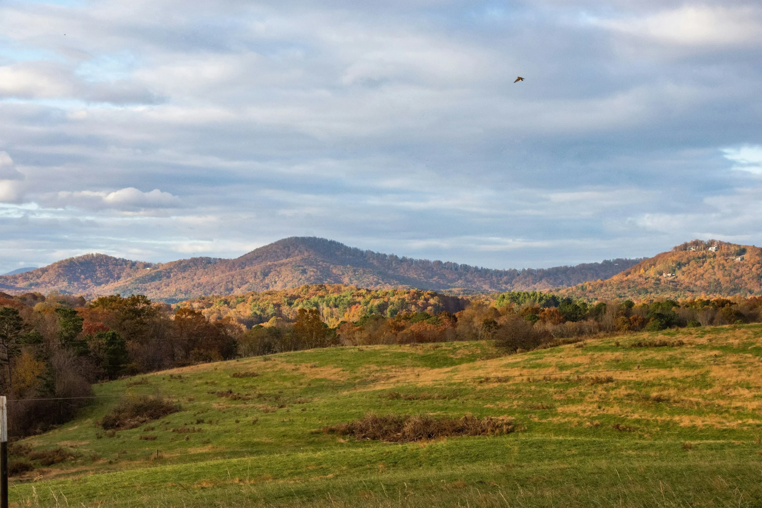
Rolling Hills Land Surveying is a professional land surveying company based in Calhoun, Georgia. The firm provides boundary, topographic, and land surveying services for residential and commercial properties throughout Northwest Georgia. We serve cities including Calhoun, Dalton, Chatsworth, Ellijay, Jasper, Canton, Cartersville, Marietta, Rome, Summerville, and LaFayette. Each project is approached deliberately, with an emphasis on accuracy, quality, and clear communication.
Locally Owned
Professionally Licensed
Client Focused
Veteran Owned
Our Services
Boundary Surveys
A boundary survey verifies existing boundary lines using record information and field evidence.
Topographic Surveys
A topographic survey documents existing natural and man-made features, elevations, and surface conditions.
ALTA/NSPS Land Title Surveys
An ALTA/NSPS Land Title Survey identifies boundary lines, easements, improvements, and other property details required by lenders and title companies for commercial properties.
Subdivision Plats
A subdivision plat divides a single property into multiple lots for official recordation.
Lot Consolidation
A lot consolidation survey combines two or more adjacent parcels into a single lot for recordation and future use.
Right-of-Way Surveys
A right-of-way survey identifies public right-of-ways and shows their relationship to adjacent private property.
Request a Survey
Ready to get started? Tell us about your project and we will respond within 24 hours.